01Swimming by the town and in a smaller cove
Swimming at the town beach or Maljevik
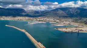
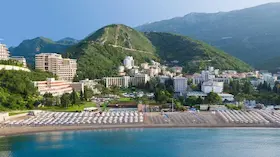
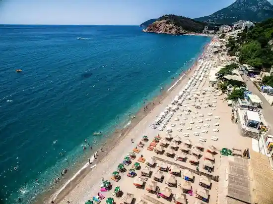
At the main beach, you swim right beside the town, along a promenade with restaurants, cafes and summer attractions. For a choice of places to eat, see where to eat in Sutomore. Sutomore Beach on Google Maps.
Maljevik offers a different swimming setting: a pebble cove west of Sutomore towards Canj, away from the long town promenade. Plan a visit to Maljevik separately from time at the town beach. Maljevik on Google Maps.
02Two walks above the coast
Climbing to Tabija above the waterfront
The path to Tabija climbs from the waterfront car park below Golo Brdo. Wear sturdy shoes for the rocks and patches of tall grass. The path has no signs, so use the electrical substation as a landmark on the way up. From the remains of the round tower you can see Sutomore and the mountains behind it, with the coast towards Bar on the other side. Tabija Fortress on Google Maps.
Hiking to Haj-Nehaj
Haj-Nehaj rises above Spičansko Polje. At the top of the rocky climb, the fortress looks out over Maljevik, the coast and the hills inland.
The shorter marked route gains about 166 m over 0.9 km. Allow 35–50 minutes from the point shown on the route map and GPX track, plus time to descend. Start of the shorter ascent on Google Maps. Haj-Nehaj Fortress on Google Maps.
03A boat to the beach or a full day cruising
A boat to Kraljicina Beach near Canj
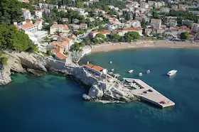
From Sutomore, the boat brings you into Pećin Cove, where high cliffs frame the Queen’s Beach near Čanj. After you get off, you have time in the cove until the agreed return departure.
Sofi Boat offers several departures a day. When buying a ticket, confirm where to board in Sutomore and choose your return from the beach. Kraljicina Beach near Canj on Google Maps.
A full day cruising from Sutomore
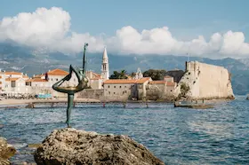
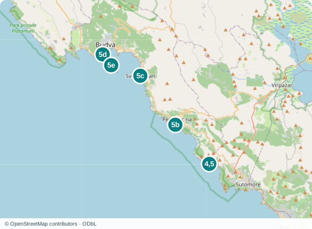
The NAVIA cruise from Sutomore stops in Petrovac and pauses for a swim near Sveti Stefan. At Budva, go ashore or stay on board for Sveti Nikola Island. On the way back, the boat stops at the Queen’s Beach near Čanj.
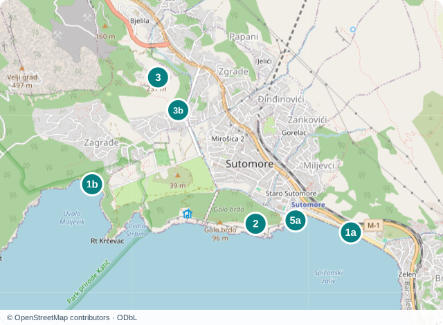
Set aside the whole day for this outing. Confirm the exact programme, price and departure from Sutomore when booking for your chosen date. The boarding point published by NAVIA is marked on the first map, while the second shows the stop areas and the choice between Budva and Sveti Nikola. NAVIA boarding point in Sutomore on Google Maps. Petrovac waterfront on Google Maps. Sveti Stefan on Google Maps. Budva Old Town on Google Maps. Sveti Nikola Island on Google Maps.
04More day trips and itineraries
The day trip guides from Petrovac also cover independent drives, with routes and visiting conditions. Those routes start in Petrovac, so add the journey from Sutomore to the starting point of your chosen route.
Questions about activities in Sutomore
Is Kraljicina Beach near Canj the same as the one in Milocer?
No. Kraljicina Beach near Canj is in Pecin Bay on the Bar Riviera. Kraljicina Beach in Milocer is a different cove near Hotel Milocer on the Budva Riviera. When arranging a boat, specify Canj or Pecin Bay rather than relying on the name Kraljicina Beach alone.
Can I get to Virpazar and Lake Skadar by train?
Yes. Sutomore and Virpazar are connected by a local railway service. Look up outbound and return departures for your date with Railway Transport of Montenegro. When choosing your train, allow for the start and end of your chosen lake cruise, as well as the time needed to get from the station to the operator's boarding point in Virpazar.
Is a full day on the cruise worthwhile if I don't swim?
You don't have to swim at every stop. NAVIA says you can stay on the boat at Kraljicina Beach. For the sea option near Sveti Nikola, it lists anchoring around 40 metres offshore, so do not expect to step straight onto the beach. Before booking, explain that you don't swim and confirm how the stops will work for you without entering the water.