Town and surroundings

Hidden places in Tivat and the surrounding area

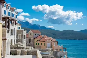
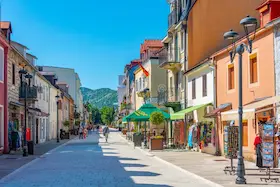
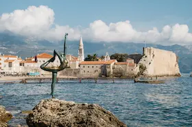
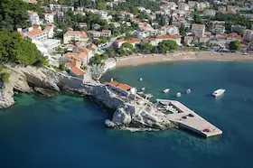
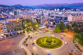
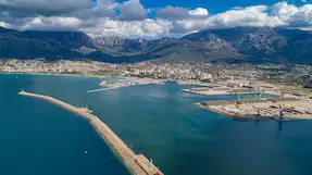
Tivat's waterfront extends beyond its marinas. Fishing moorings and church squares remain along the coast, with a stone village above the town where people once processed olives in a mill powered by human strength. Some of that heritage stands among today's town houses, while other places require a trip up the slopes of Vrmac or to the Krtoli side of the bay.

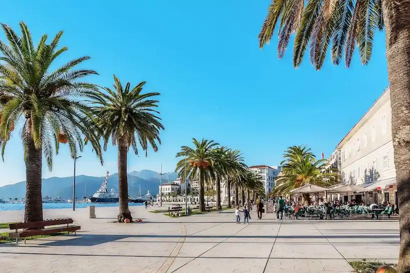
Tivat's waterfront and Tivat Bay
AuthorHire And Travel Editorial TeamLast updated

The guide was prepared through research into lesser-known places in Tivat and the surrounding area. The content was reviewed, confirmed and verified by Milovan Johnson on 8 October 2026.

Locations

Lesser-known places in town and nearby

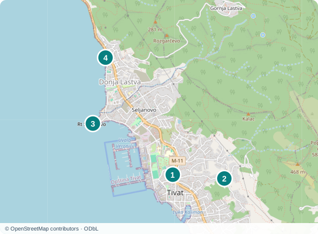
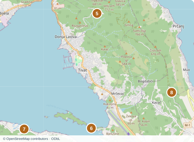
Four places in Tivat, including Seljanovo and Donja Lastva, are shown on the town map. Gornja Lastva, Miholjska Prevlaka, Bjelila and Vrmac Fortress appear on the map of the surrounding area. The fortress is in Kotor municipality, while the other places are in Tivat municipality. The numbers connect each location with its description. Pins mark buildings or areas. They are not confirmed entrances, parking spaces or trailheads.

Town neighbourhoods and separate trips

Seljanovo and Donja Lastva continue along the coast north of central Tivat, while Tripovici rises on the town's hillside. Gornja Lastva is a village higher up on Vrmac. Prevlaka and Bjelila require separate trips to other parts of Tivat Bay, and Vrmac Fortress stands in the neighbouring municipality of Kotor. For the main waterfront, marinas, museums and nature reserve, see Tivat's attractions.

01
St Sava Church in central Tivat

St Sava Church in central Tivat

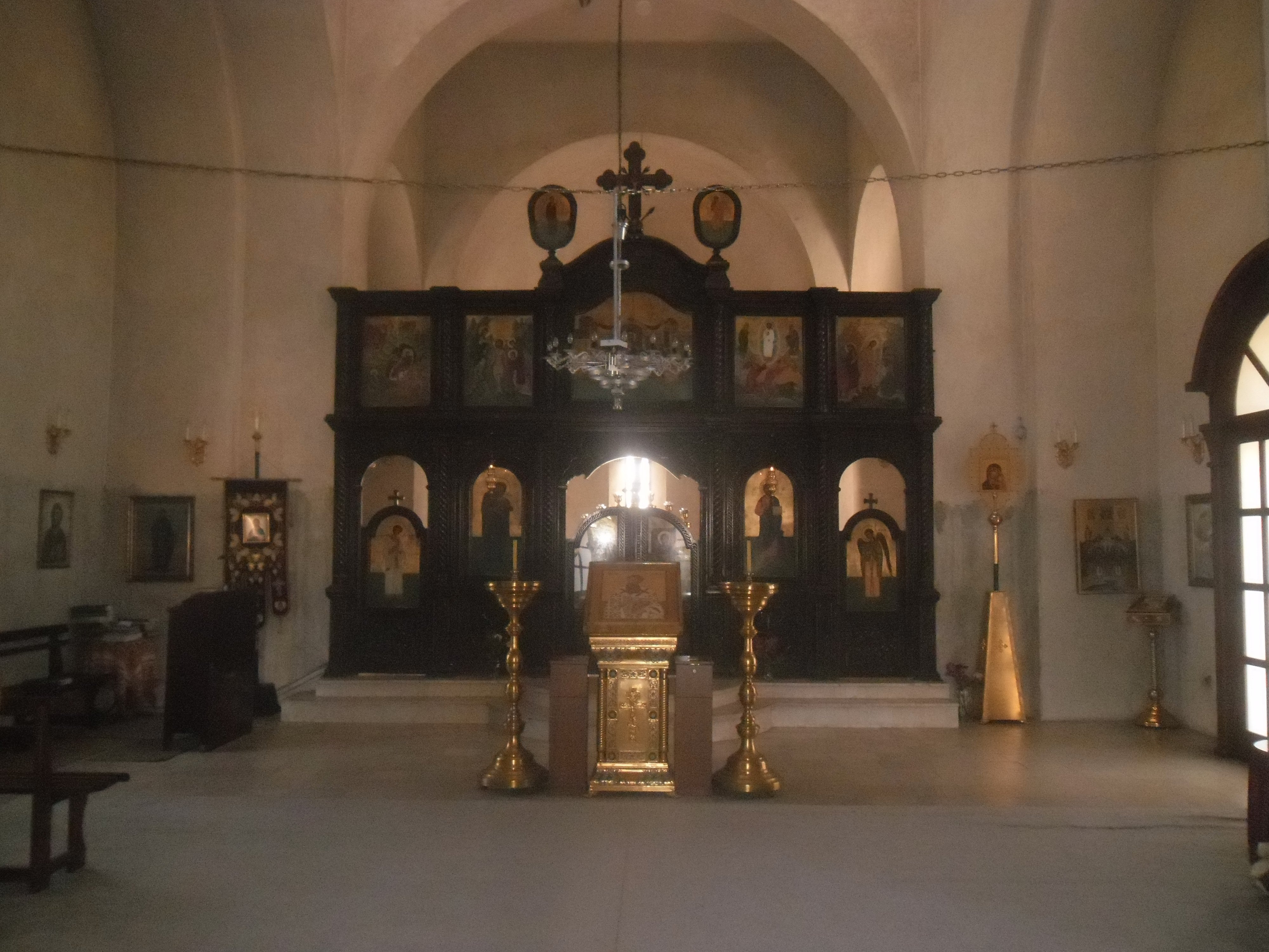
Dark wooden iconostasis in St Sava Church in Tivat

St Sava Church stands in central Tivat. A broad dome rises above it, while white and pink stone blocks alternate across the facade. Unlike the churches with slender bell towers along Boka's coast, it has a large floor plan in the shape of a Greek cross, with arms of equal length. A walk around the exterior gives you a view of the dome, arches and contrasting stonework.

The architect Momir Korunovic designed the church. Construction began in 1938 and ended after World War II, so the building belongs to Tivat's more recent history even though it draws on older forms of Orthodox architecture. Inside is an iconostasis of dark brown wood, a screen bearing icons that separates the worshippers' area from the altar. Its decoration uses plant motifs, and the dark wood stands out against the pale walls and vaults.

You can stop by the church while passing through the centre to see its dome and facade. Entry depends on the schedule of an active church, and no separate tourist opening hours have been confirmed. If you want to see the iconostasis, check with the church whether an interior visit is possible. St Sava Church on Google Maps.

02
St Anthony's Church in Tripovici

St Anthony's Church in Tripovici

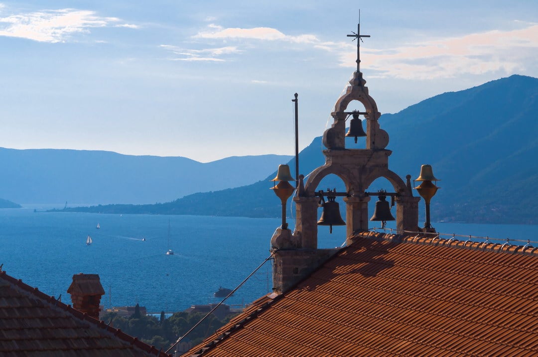
Bell gable of St Anthony's Church in Tripovici, with Tivat Bay behind it

The parish Church of St Anthony of Padua stands on a rise in Tripovici, above central Tivat. A broad terrace paved with stone slabs lies in front of it, overlooking Tivat Bay. In Boka, the stone seats along the edge of the terrace are called pizule. You can pause here for the view and see how the church, parish house and paved courtyard occupy a prominent position among the houses on the hillside.

The church was built in 1734 on the site of an older building. A local historical account calls the front courtyard tamborjo, a gathering place for the parish. Inside is a Neoclassical painting of Saints Peter and Paul with the Sacred Heart of Jesus, made by the Italian painter Francesco Potenza in 1818. When the church is open, a visit can therefore include this particular work of art as well as the view from the terrace.

Reaching Tripovici involves a climb through a town neighbourhood. Use the full name with Tripovici in your search: the churches of St Anthony in Lepetani and Belani are at different addresses. Check with the parish whether you can visit inside. The church in Tripovici on Google Maps.

03
Ponta Seljanovo and the lighthouse on the cape
Ponta Seljanovo and the lighthouse on the cape

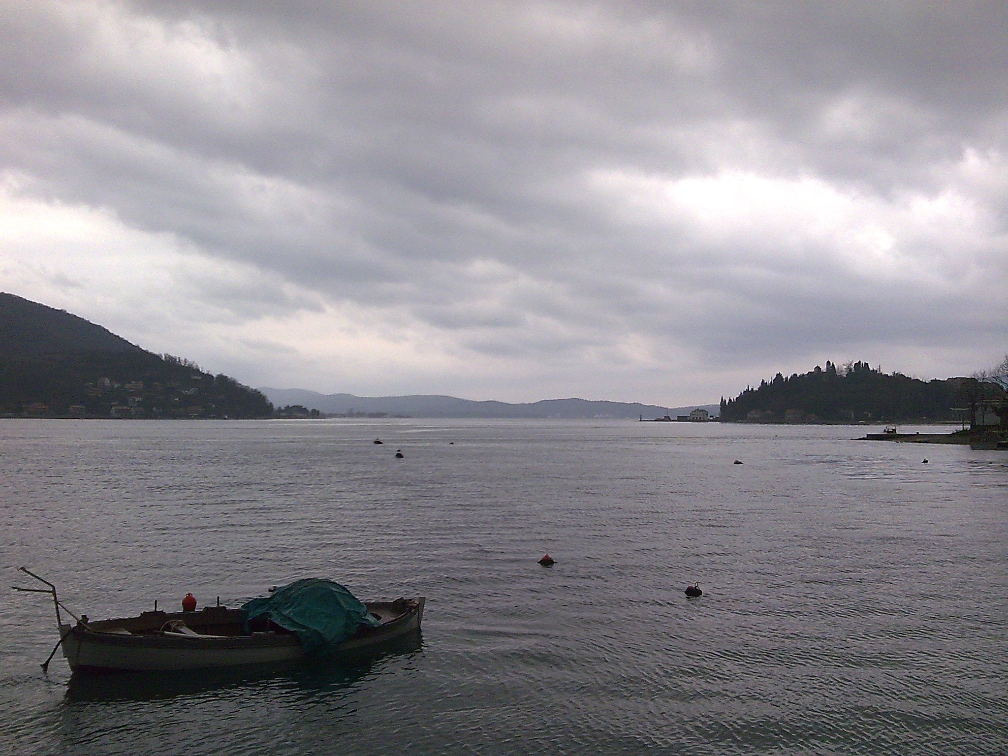
A boat on the shore at Ponta Seljanovo and a view across the bay

Ponta is a cape in Seljanovo, north of central Tivat, with a small red and white lighthouse at its tip. Flat rocks alternate with sections of shore used for bathing, with houses and places to eat and drink just behind them. You can reach the water here and look across the bay without climbing a hill. The lighthouse is a recognisable landmark at the end of this stretch of coast.

Tivat Municipality has designated Ponta as a public town beach. Use the public part of the shore for your visit, as platforms used by restaurants, loungers and fenced passages may have different conditions of use. The map pin marks the lighthouse, rather than parking or a confirmed route through a particular property. Ponta Seljanovo lighthouse on Google Maps.

04
St Roch Church in Donja Lastva

St Roch Church in Donja Lastva

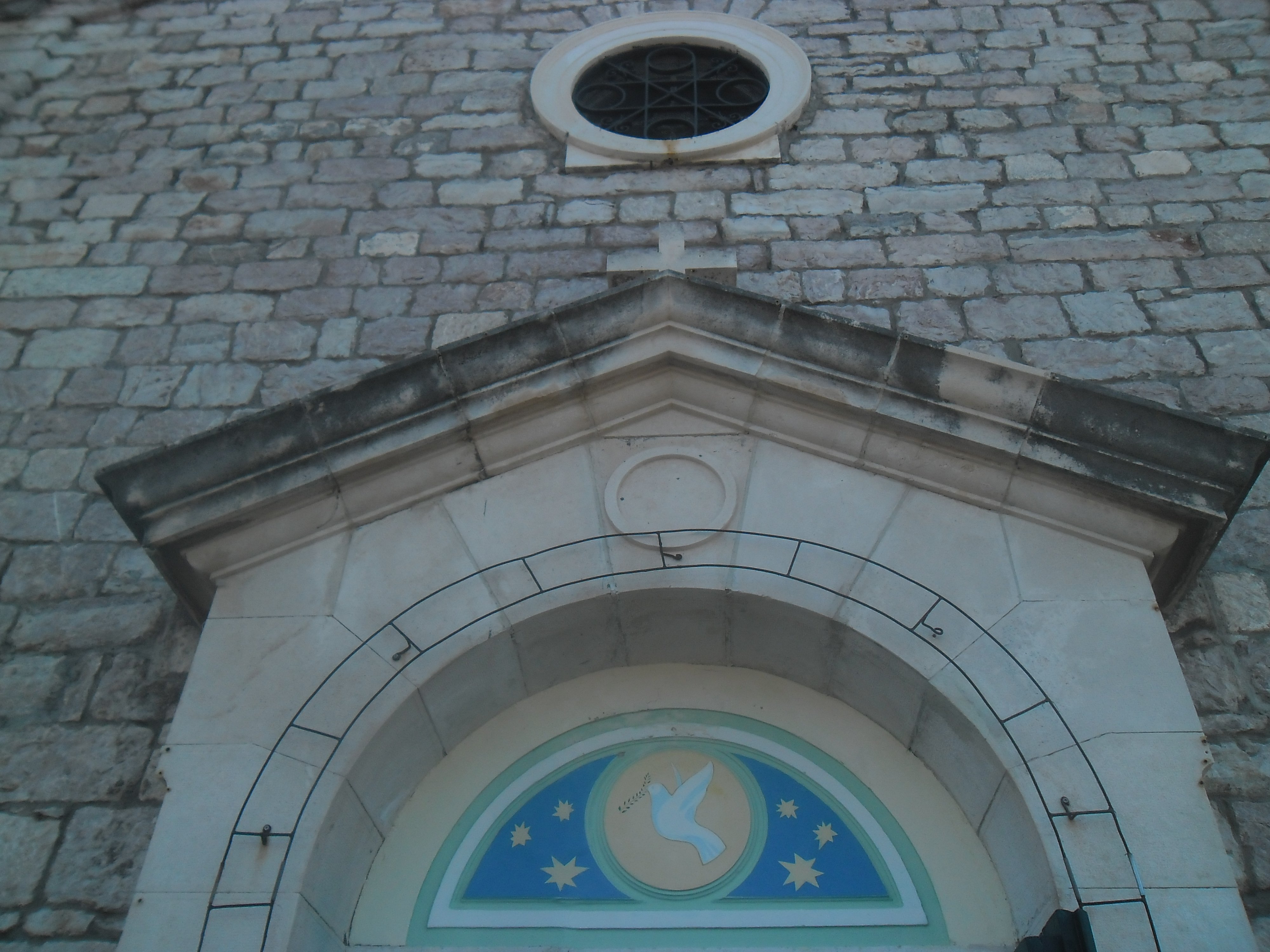
Stone portal and rose window of St Roch Church in Donja Lastva

St Roch Church stands by the sea in Donja Lastva, in the northern part of Tivat. A waterfront square lies in front of it, and the tall stone bell tower comes into view as you approach along the coast. The facade has a stone portal and a rose window, a decorated circular opening. Its position right on the shore lets you see the facade and bell tower while visiting Donja Lastva, without climbing towards Gornja Lastva.

The present church was built in 1901 to a design by the architect Milan Karlovac. Among the artworks inside is an altarpiece of St Roch by Mihailo Flori from Prcanj. The saint appears beneath a tree with a staff, a dog and an angel. When the interior is open, the painting gives you a reason to stay and look for those details rather than ending your visit in the square.

You can see the square and the church's exterior from the shore. Viewing the altarpiece requires entry to an active parish church, for which regular tourist opening hours have not been confirmed. Check with the parish whether entry is possible. St Roch Church on Google Maps.

05
Gornja Lastva, a village of stone houses on Vrmac
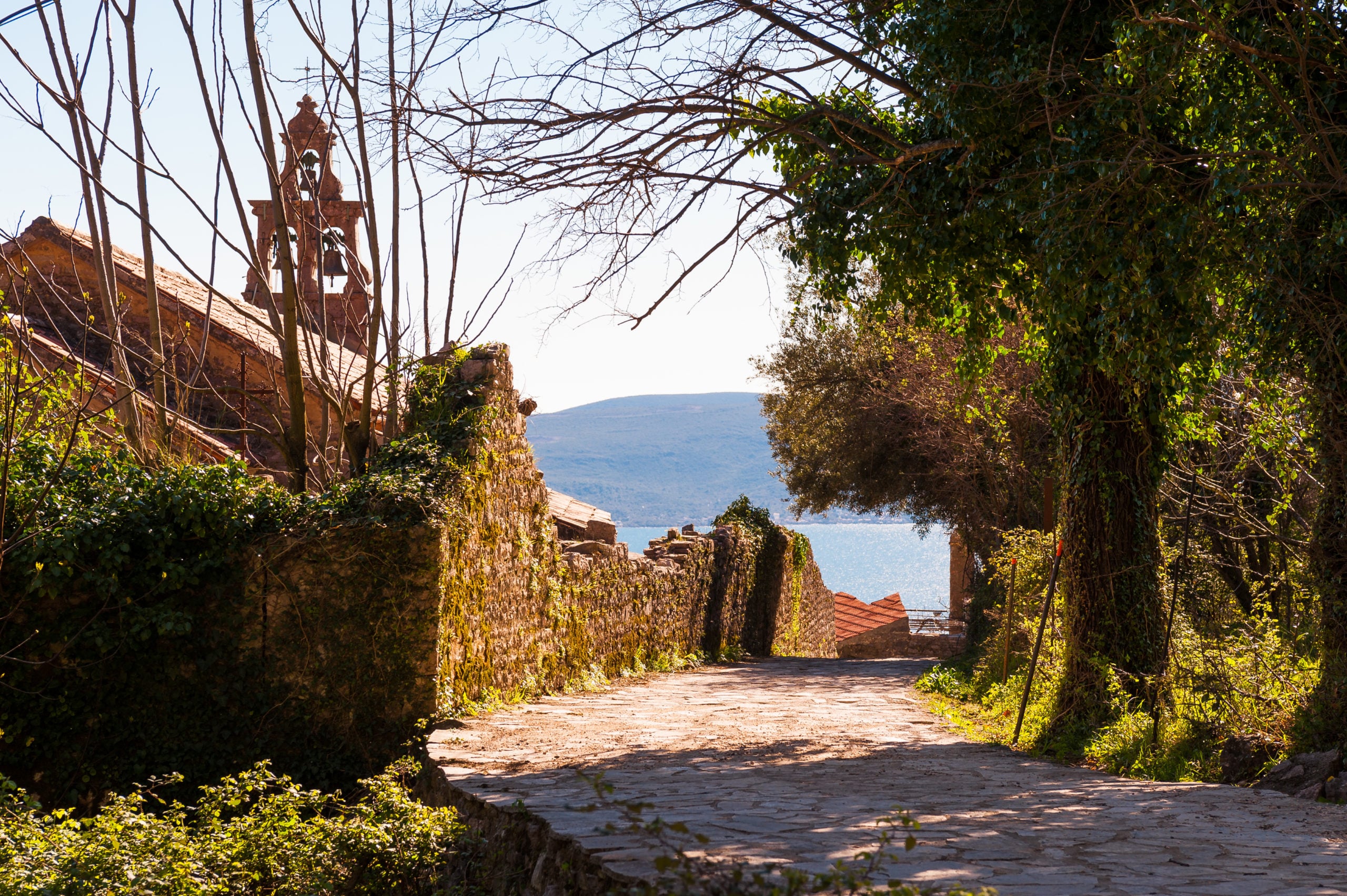
Gornja Lastva, a village of stone houses on Vrmac

A stone passage in Gornja Lastva, with the bell tower and bay in the background

Gornja Lastva is a village on the Tivat side of Vrmac, at around 300 metres above sea level. Stone houses and narrow passageways follow the sloping ground, and the view extends across Tivat Bay towards Lustica and the open sea. The surviving houses mostly date from the nineteenth century. There are also abandoned buildings and collapsed walls.

An olive mill from the nineteenth century, powered by human strength, survives in the village. It is no longer used, but its mechanism shows how olives from the surrounding groves were once processed. The parish Church of St Mary houses a Baroque altar of multicoloured marble, purchased from Gospa od Skrpjela near Perast. Alongside the stone houses, the mill shows how villagers once worked, while the altar is an artwork brought here from another part of Boka.

A local paved road leads from the Adriatic Highway to Gornja Lastva. Walking up from the sea involves a climb. You can reach the village by car, but its stone passageways may still have steps and uneven surfaces. Check whether the church and mill can be opened if you want to see inside. Napredak Association publishes Gornja Lastva's cultural programmes, which you can check when choosing a time to visit. Central Gornja Lastva on Google Maps.

06
Miholjska Prevlaka, also known as Ostrvo cvijeca
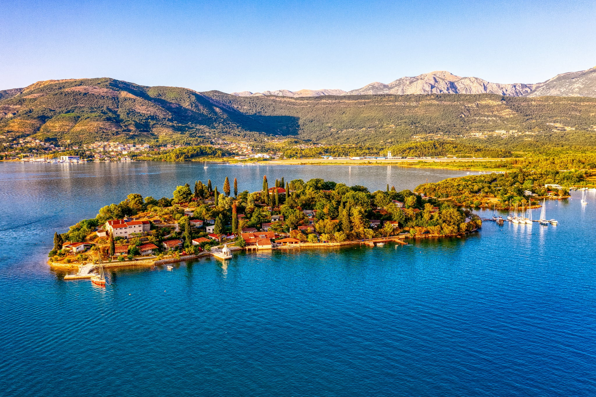
Miholjska Prevlaka, also known as Ostrvo cvijeca

Miholjska Prevlaka with monastery buildings and its low connection to the mainland

Miholjska Prevlaka is in Tivat Bay, close to the airport, and is also known as Ostrvo cvijeca (Island of Flowers). A low crossing connects it to the mainland, so the name 'island' does not mean you need a boat to reach it. Beyond its vegetation and shoreline, the main reason to visit is the monastery site. The remains of the old church lie beside later church and monastery buildings.

From the beginning of the thirteenth century, Prevlaka was for a time the seat of the Bishopric of Zeta. Archaeological and conservation work has revealed several layers of construction, including remains of a three-aisled basilica, a church divided into three longitudinal sections. Its low stone walls and apses, the ends of the altar area, are easier to understand as surviving traces of the floor plan than as a whole church. Nearby stands the Church of the Holy Trinity, which Ekaterina Vlastelinovic had built in 1833.

You can reach Prevlaka by land. The low crossing can be affected by the tide, so check its condition before arriving. Viewing the outdoor remains does not give you permission to enter the monastic quarters or all areas of the churches. If visiting the interior matters to you, arrange it with the monastery. The location shown on the map covers Prevlaka rather than marking a specific entrance. Miholjska Prevlaka on Google Maps.

07
Bjelila, a fishing settlement in Krtoli
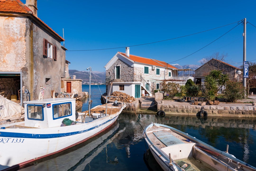
Bjelila, a fishing settlement in Krtoli

Stone houses beside the water and boats at jetties in Bjelila

Bjelila is a small fishing settlement in Krtoli, in Tivat municipality. Stone houses stand beside the water, with short jetties, steps down to the sea and moorings for small boats in front of them. This stretch of coast is worth seeing for how closely the houses and boats sit together: often only a narrow passage or a stone platform separates a family's courtyard from the sea.

Frutak spring is in the settlement. The tourist organisation links the name Bjelila to women who did their washing at the spring - 'bijelile' in the local Boka dialect. This local explanation recalls the work once done in the village. From the shore you can see Ostrvo cvijeca, Sveti Marko and Gospa od Milosti, allowing you to identify three separate islands on the Tivat side of the bay.

Visiting Bjelila requires a separate trip to the Krtoli side of the bay. People still live in the settlement, which also offers private accommodation: keep to public passageways and do not enter courtyards or private jetties. Bjelila on Google Maps.

08
Vrmac Fortress in Kotor municipality

Vrmac Fortress in Kotor municipality

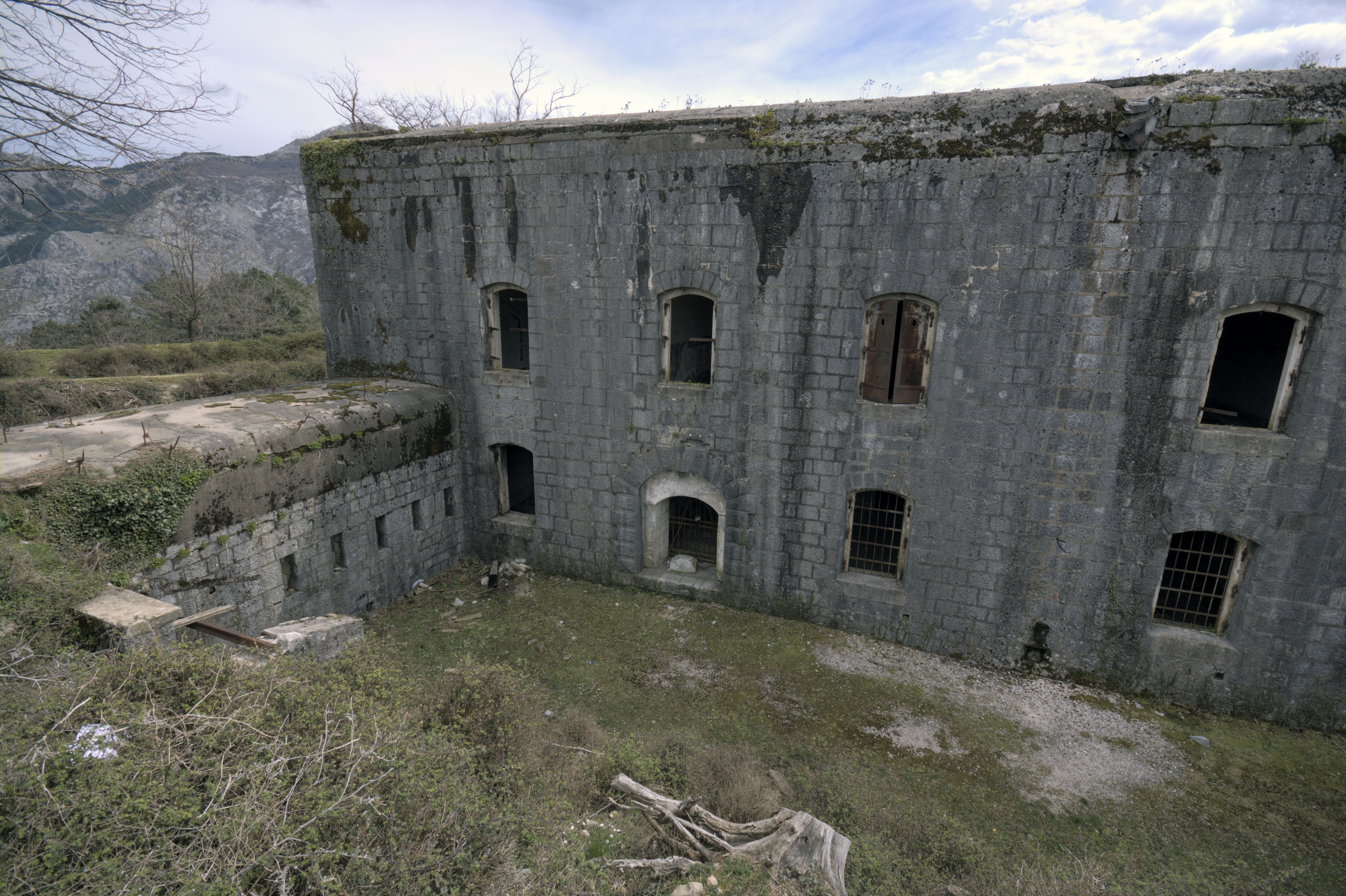
Outer entrance, stone walls and ditch of Vrmac Fortress

Vrmac Fortress stands on the mountain massif above Boka, in the neighbouring municipality of Kotor. On the entrance side are stone walls with windows on two levels, an arched entrance and a deep ditch beside the building. Much of the outer structure has survived, so you are seeing more than foundations here: the shape of the fortress, its entrance and the way the ditch separated the approach from the walls remain recognisable.

The fortress is part of the bay's Austro-Hungarian military heritage. Its position on the massif between the Tivat and Kotor sides is connected with the defence of Boka, and the former military roads now form part of the walking routes. For someone travelling from Tivat, the fortress requires a separate trip to see military architecture on the hill, away from the marinas and the town's church squares.

The official walking map of Vrmac shows routes connecting the fortress with Gornja Lastva and Kotor. The walking routes to the fortress involve a climb, so plan a separate trip to Vrmac. The Google Maps pin marks the building, without confirming access by car or parking. Plan to view it from outside: the interior of the abandoned fortification, the roof and the ditch have not been confirmed as safe for tourist visits. Vrmac Fortress on Google Maps.

Planning a visitBy the sea, through the town or up on Vrmac
Town waterfrontPonta and the church square in Donja Lastva

Ponta Seljanovo and St Roch are in the coastal part of town. If you want to visit places by the sea, neither requires a trip up the mountain. Public access along the shore is still different from access to restaurant premises or a private jetty.

Town hillsideTripovici above the central streets

St Anthony's Church stands above the centre, while St Sava Church is in central Tivat. Reaching Tripovici involves a climb through the neighbourhood, so choose it if an uphill walk and a view from the church terrace suit your plans.

Surrounding areaKrtoli or the road into the hills

Prevlaka and Bjelila require a trip to the Krtoli side of the bay. Choose Gornja Lastva for a stone village, or Vrmac Fortress for a walk to a military site. Each needs different access information: the paved road to the village and the walking map of the mountain.

Names and access

Check these names before setting out

01
St Anthony in Tripovici or Lepetani

Several churches in Tivat are named after St Anthony of Padua. Add Tripovici to your search for the church on the terrace above the centre. The church in Lepetani and the small church in Belani near Kalimanj are separate physical places.

02
Donja Lastva and Gornja Lastva

St Roch stands by the sea in Donja Lastva. For the village with the mill and St Mary's Church, look for Gornja Lastva. Including Donja or Gornja matters both in the address and when arranging a visit.

03
Ostrvo cvijeca and Miholjska Prevlaka

Ostrvo cvijeca and Miholjska Prevlaka are names for the same place. Sveti Marko and Gospa od Milosti are two other islands: a photograph or a tour offer for one tells you nothing about access to the others.

More local context

A village school and Boka's church architecture

Gornja Lastva
The school was already operating in 1845

Until World War II, the village had its own municipality, a school operating since 1845 and a tamburica music society. After the war, residents moved to Tivat and Donja Lastva to be closer to their workplaces.

Donja Lastva
The architect behind St Roch

Milan Karlovac designed both St Roch Church in Donja Lastva and the Church of the Boka Martyrs in Krasici. Both belong to a later period of church building in Boka, at the end of the nineteenth and beginning of the twentieth century.
Questions about lesser-known places

Where should I go if I find walking uphill difficult?

Consider Ponta Seljanovo and the square by St Roch in Donja Lastva for a visit by the sea within town. Gornja Lastva has a paved road for vehicles, so you do not have to walk up from the coast to reach the village. Exploring the village itself can still involve stone surfaces, steps and uneven ground. Vrmac Fortress is not a flat waterfront walk. If you use a wheelchair, check the accessibility of the particular route separately.

Is Ostrvo cvijeca a botanical garden, and do I need a boat?

Ostrvo cvijeca, meaning Island of Flowers, is another name for Miholjska Prevlaka, a monastery and archaeological site with vegetation and a shoreline. The name alone is not a reason to expect a landscaped botanical display. A low crossing connects it to the mainland, so a boat is not the only way to reach it. If access by land matters to you, check the crossing's condition and the effect of the tide before setting out.

Can I visit Ponta without using a restaurant or renting a lounger?

Tivat Municipality has designated Ponta as a public town beach. Plan your visit along the public part of the shore, without assuming this allows you onto every platform or into every fenced restaurant area. For information about public access, particularly if you find a fenced passage, contact the Tivat Tourist Organisation.

Car hire for trips around TivatCompare car hire offers in Tivat and collection terms for separate trips to villages and stretches of coast beyond the centre.
Find a car
Continue your Tivat visit
Guides to popular destinations

City guides for nearby destinations

Hidden places in nearby towns

Country guideContinue with the Montenegro guide

The country guide places Tivat alongside the other towns of Boka, Montenegro's coast and its mountain areas.