01Coastal coves, long beaches and the Bojana mouth
Zanjice and Mirista
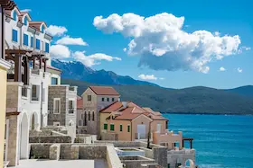
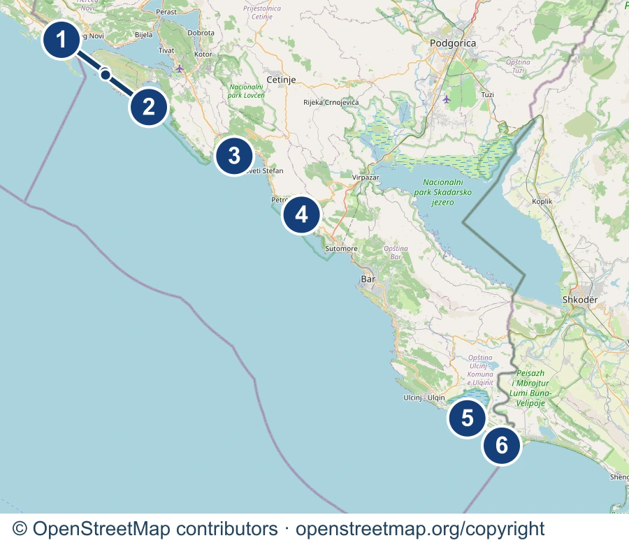
Zanjice is a cove on the outer side of Lustica, near the entrance to the Bay of Kotor. White pebbles at the water’s edge and old olive groves behind give it a different appearance from the sandy beaches farther south. Nearby Mirista lies between Zanjice and Cape Arza, beside a smaller cove with a view of the islet of Mala Gospa. Choose these two places for the indented coast and the changing mix of beach, rock and Mediterranean vegetation.
Road access is via Lustica. Excursion boats can also bring you here, but boarding points and return journeys depend on the operator. Porto Adriatic at Zanjice lists road access and seasonal boat access. Its services and parking apply to that establishment, rather than the whole shore. Mirista is a separate nearby destination, so agree which beach the boat will stop at.
Google Maps: Zanjice, cove areaGoogle Maps: Mirista, cove area
Mogren
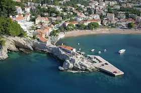
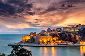
Mogren lies beside Budva’s Old Town, below high cliffs with Mediterranean vegetation. A tunnel through the rocky headland connects the two small beaches. Sea, sand and cliffs are packed into a small space here. The shape of the cove and the view along the rock face are the reasons to come.
A concrete coastal path leads from the Avala hotel to the beach. Budva’s tourist organisation describes an approach of about 350 metres and advises avoiding the path in southerly winds and strong waves. Parking in Budva and any beach-equipment hire are separate from the walk.
Buljarica
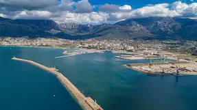
Buljarica extends south of Petrovac, in a broad bay backed by flat land and wetlands. Budva’s tourist organisation describes the section nearer Petrovac as sandy, while most of the beach is shingle and stone. The land behind the beach is part of its natural interest, making the area distinctive among coastal bird habitats.
Road access is through Buljarica village. For a day by the sea, choose a particular bathing beach and its entrance: the long shore is not served by one access point.
Velika plaza and Ada Bojana
Velika plaza extends from the Port Milena area towards the Bojana, southeast of Ulcinj. Fine sand gives way to dunes with coastal vegetation, so the natural landscape includes the strip behind the bathing beach. Ada Bojana is a neighbouring triangular island between two river channels and the Adriatic Sea. Here, the open sea view contrasts with the riverbanks. Velika plaza and Ada belong to the same southern coastal landscape, but they are not one bathing beach with a single entrance.
Separate roads lead to different parts of Velika plaza, while a bridge over the Bojana provides access to Ada. For time by the water, choose a specific sea beach and its marked area. The banks beside river restaurants and the river mouth do not imply the same bathing arrangements. Ada has naturist facilities, so confirm the rules for the particular section before arriving.
Google Maps: Velika plaza, central areaGoogle Maps: Ada Bojana, sea shore
02Lake, karst and canyon in central Montenegro
Lake Skadar
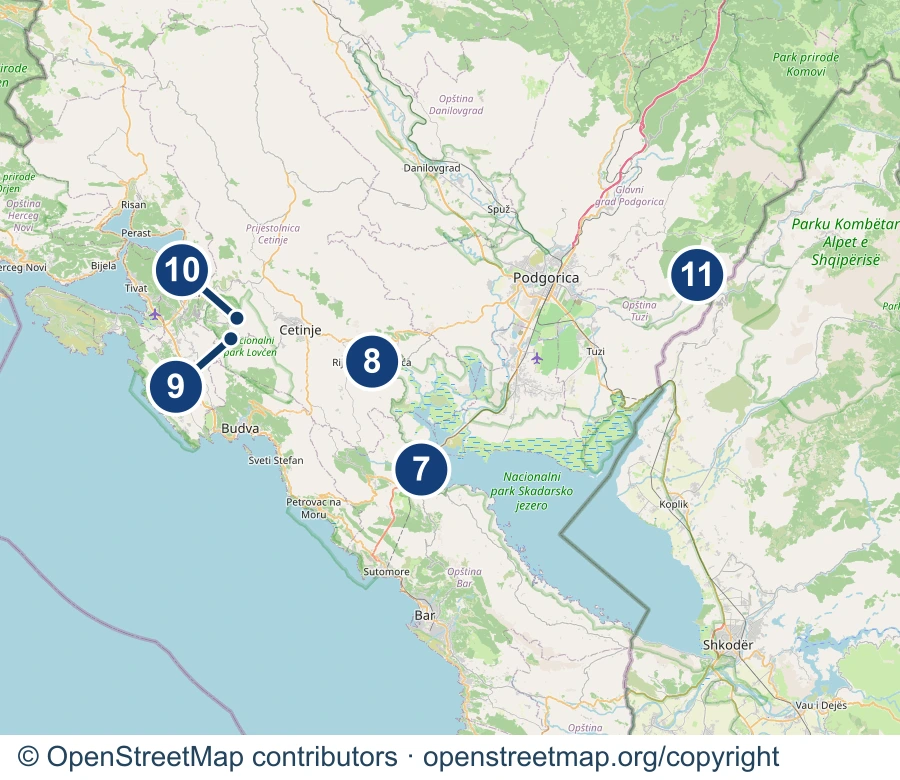
Montenegro and Albania share Lake Skadar. In the Montenegrin national park, open water alternates with water-lily channels, reed beds and islands along the shore. Virpazar offers an approach through a settlement and river channel, while Rijeka Crnojevica opens onto a narrower, winding stretch of water. Changing water levels alter the shoreline, so a photograph from one part of the season does not show a permanent state.
For a view from land, choose a specific settlement or viewpoint. Reaching the channels requires a separately arranged boat or another suitable outing. The lake is a habitat for pelicans and cormorants, but sightings depend on the part of the lake, the season and the birds’ movements. The national tourist organisation particularly recommends autumn and winter for birdwatching. Agree boating conditions and distance from sensitive habitats with the organiser.
Google Maps: Virpazar, lake approachGoogle Maps: Rijeka Crnojevica, settlement area
Lovcen
Lovcen rises above the Bay of Kotor and the hinterland of Cetinje. Bare limestone, hollows and ridges form its karst landscape, with beech woods between them. Ivanova korita shows the more wooded part of the mountain, where you can spend time on the plateau and choose a shorter trail. Higher points look towards the coast and inland, with visibility depending on cloud and haze.
Ivanova korita and Jezerski vrh have separate approaches and different final stages of a visit. The visitor centre at Ivanova korita provides trail information. The final approach to the mausoleum on Jezerski vrh has 461 steps. If you want time in the woods without that climb, choose the plateau. Lovcen National Park distinguishes walking trails from viewpoints, so choose a specific route for a longer outing.
Google Maps: Ivanova korita, wooded plateauGoogle Maps: Jezerski vrh, viewpoint area
Cijevna Canyon
Cijevna Canyon lies in Malesija, in the municipality of Tuzi towards the Albanian border. The river flows between limestone cliffs, with vegetation growing in cracks and damper sheltered places within the canyon. From Deljaj, you look down into a deep river valley between rocky sides. In clear weather, the view may reach Lake Skadar. The protected canyon area is managed by the organisation Spomenik prirode Kanjon Cijevne.
For that view, choose the plateau beside the large white cross in Deljaj village. The national tourist organisation highlights this viewpoint above the canyon. The road runs through Zatrijebac, and the map marker shows the village area rather than a car park or a trail to the river. The waterfall at Rakica kuce is downstream on another stretch of the Cijevna.
03Old-growth forest and glacial landscapes in the north
Biogradska gora
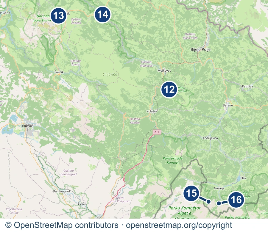
Biogradska gora on Bjelasica protects an old-growth forest surrounding Biogradsko Lake, with several layers of tree cover. The canopy reaches over the shore, and wooded slopes fill the view across the water. The Biogradska River, streams and rainfall feed the lake, while the Jezerstica flows out towards the Tara. Here, the close view of trees, shore and water defines the landscape more than a panorama of high peaks.
The access road turns off the Kolasin-Mojkovac road via Kraljevo kolo. The park lists an educational circuit beside the lake separately from mountain trails and the Bendovac viewpoint. For a shorter visit, stay with the lakeside walk. The higher parts of Bjelasica require more walking and preparation. The lakeshore is inside the national park, with the relevant admission ticket required.
Durmitor and Tara Canyon
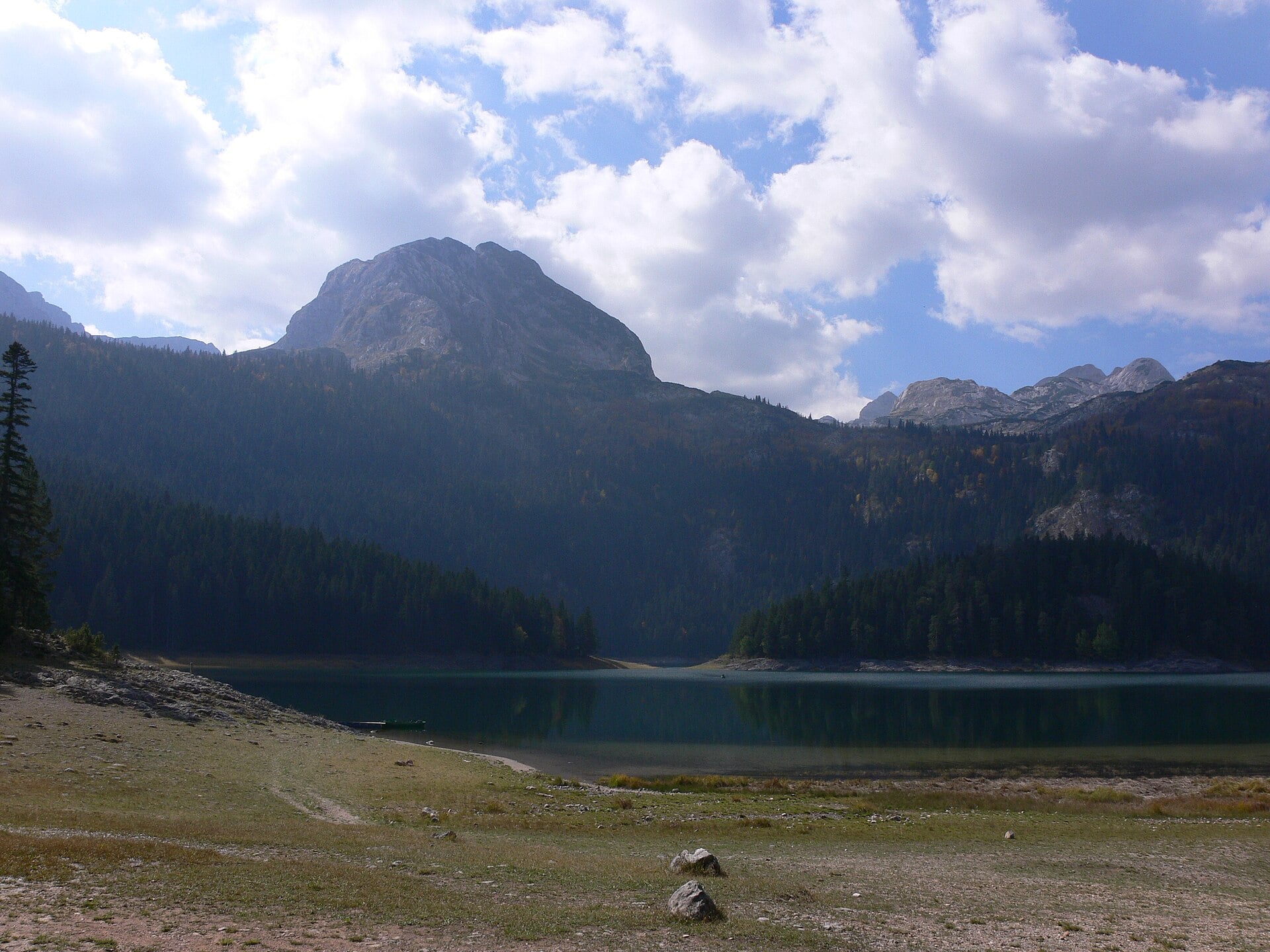
Durmitor is a mountain landscape shaped by glaciers, with lakes below rocky peaks and canyons around the edge of the massif. Black Lake near Zabljak combines a conifer-lined shore with a view of Medjed. The Tara flows deep below the wooded sides of the canyon. UNESCO’s description of Durmitor National Park links its glacial terrain, lakes and Tara Canyon.
For the lake landscape, choose the approach to Black Lake from Zabljak. For canyon views around Djurdjevica Tara Bridge, first confirm the permitted approach and pedestrian access for your visit. Viewing the canyon from the surrounding area and stepping onto the bridge are different visits. The Transport Administration’s reconstruction notice concerns traffic restrictions and does not confirm access on foot to the bridge or work area. Reaching the river is another separate outing. Durmitor’s high-mountain trails are not a continuation of an ordinary lakeside stroll. If you want a specific walk or rafting trip, the guide to things to do in Zabljak explains the scope of those outings.
Google Maps: Black Lake, lake areaGoogle Maps: Djurdjevica Tara Bridge, canyon view
Prokletije
Prokletije near Plav and Gusinje has sharp peaks rising abruptly above glacial valleys. In Grebaje, the grassy valley floor narrows between the steep sides of Karanfil. Ropojana, approached from Vusanje, is another valley in the same massif. Choose this landscape to see the mountain heights from below, with a strong contrast between the green valley floor and the rock above.
Grebaje and Ropojana do not share a starting point. For time in a valley, choose one approach via Gusinje. For a climb, select a specific marked trail and confirm its conditions with the park or a guide. The markers here show valley areas, rather than parking or the start of a confirmed tour.
Google Maps: Grebaje, valley areaGoogle Maps: Ropojana, valley area